Berachampa Local Area Details Information
Area Name: Berachampa
Post Office- Debalaya
Police Station – Deganga
District – North 24 Paraganas
Pin Code – 743424
State – West Bengal
Language – Bengali (main), Hindi, and English
Telephone Std Code – 03216

Berachampa Area Information :
Berachampa-i is a town in the Deganga Block in the 24 Paraganas North District of West Bengal State, India. It belongs to the Presidency Division. It is located 20 KM towards the east of the district headquarters in Barasat. 4.5 KM from Deganga. 42 KM from the state capital, Kolkata.
Berachampa-i Pin code is 743424, and the postal head office is Debalaya.
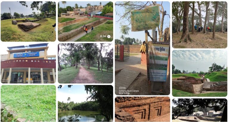
Kachua Loknath Temple (5.8 KM), Deganga (4 KM), Swarupnagar Banglani (5 KM), Sohai-shetpur (7 KM), and Amulia (9.1 KM) are the nearby villages to Berachampa-I, Sadhukapara, Goshpara, Rathtala, Mudipara, Nondipara, Kaukepara, Hadipure, Kuchemora, Saddarpara, and Lotar-more, .
Berachampa-I is surrounded by Baduria Block towards the east, Haroa Block towards the south, Habra-II Block towards the north, and Barasat-I Block towards the west.
Barasat, Madhyamgram, Taki, Haroa, Habra, and North Dumdum are the nearby cities to Berachampa-i.
This place is on the border of the 24 Paraganas North District and the Nadia District. Nadia District, Krishnanagar, is north of this place. Also, it is on the border of the other district, 24 Paraganas South.
Berachampa Map :
If you want to know more about the berachampa then comment below, I will update it on this post. Thanks.